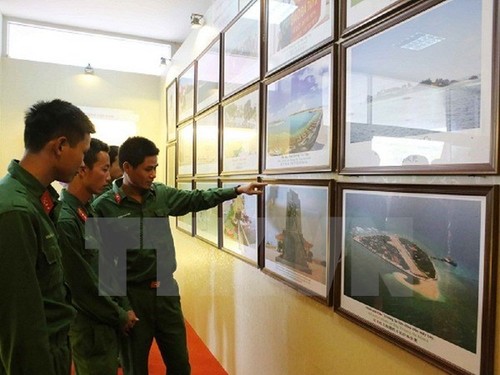
(VOVworld) - An exhibition featuring official documents, maps, and artifacts affirming Vietnam’s sovereignty over Truong Sa (Spratly) and Hoang Sa (Paracel) archipelagos, opened Wednesday in Son La province.

On displays are photos and documents highlighting the beauty of the two archipelagos and the naval soldiers who are defending Vietnam’s sea and islands (photo: VNA)
|
On display are documents and maps of Vietnam dating back to the 15th century, including a map of the Dai Viet nation published in 1490 and an An Nam map from 1836, as well as hundreds of documents on the Hoang Sa archipelago, including three official maps from China’s Qing Dynasty and the Government of the Republic of China, and six world atlases published in 1827.
The exhibition also showcases photos and documents highlighting the beauty of the two archipelagos and the naval soldiers who are defending Vietnam’s sea and islands.
The event will run until October 25.