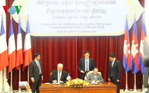
(VOVworld) - The Cambodian Border Committee has confirmed consistency of the maps used in demarcation with Vietnam and those produced by the French-Indochina Geography Service.
 |
Cambodian and French representatives sign a document to hand over the maps
|
Deputy Prime Minister and Minister of Foreign Affairs and International Cooperation, Hor Namhong, said the officially published maps from France must end all incorrect demand in the demarcation.
 |
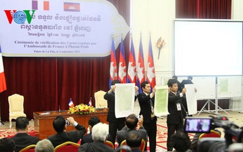
The Cambodian government organized a meeting to compare the maps
|
Cambodian Minister of State Phay Siphan said the French maps are considered original versions used in the verification to ensure accuracy, transparency and accountability by the Cambodian government as well as its determination for a clear, peaceful and friendship borderline with neighboring countries for cooperation and development.