(VOVworld)-Vietnam's first remote sensing satellite, VNREDSat-1, will be launched into orbit Friday night from Kourou, Frence, Guyana.
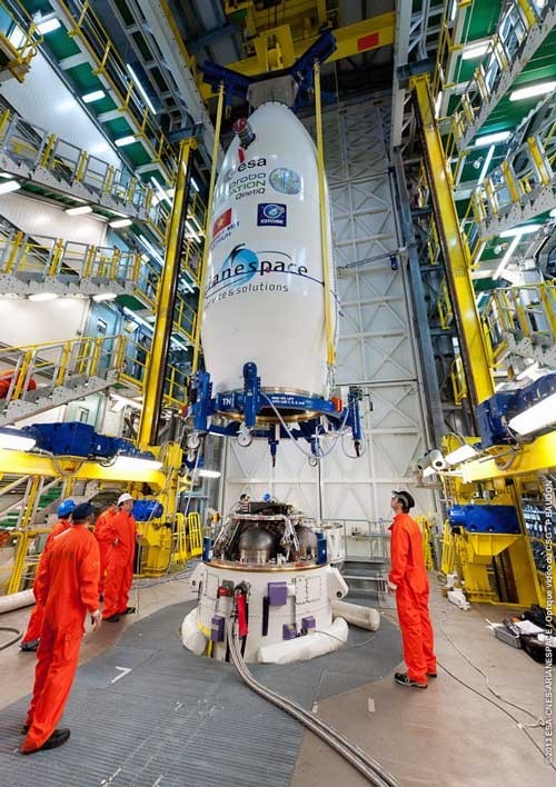 |
| Viet Nam’s VNREDSat-1 (Photo:Baomoi.com) |
This satellite will supply high-resolution images to ministries, sectors, provinces and cities to serve natural resource and environment management and the monitoring of natural disasters. VNREDSat-1 is capable of capturing images of any region in the world and is expected to aid efforts to deal quickly and effectively with flooding, forest fires, and oil spills. The first pictures of the earth taken by VNREDSat-1 will be received after two days, and one day after that, there will be pictures taken of Vietnam’s territory. Ngo Duy Tan, Head of the Satellite Control Section of the Center for Small Satellite Integrating and Control, under the Vietnam Academy of Science and Technology, said that Vietnamese and French engineers are working hard to prepare for this big event. Tan said: “Ground equipment and infrastructure are ready for the launch of VNREDSat-1. We have tested the operation of the satellite and received quite stable initial results. According to the latest information from the Kourou, VNREDSat-1 is in good condition and ready to be launched.”
The VNREDSat-1 project has a total investment of 55.8 million EUR worth of French Official Development Assistance and a Vietnamese reciprocal fund of nearly 3.2 million USD.